Ever thought that a simple map might bring you a little joy? Imagine the Caribbean islands neatly sorted into two groups, each full of its own special vibe. One group has the big islands that burst with vibrant, mixed cultures, while the other is made up of smaller gems just waiting to be discovered. Picture planning your getaway by picking a favorite spot from a friendly guide that softly suggests where to go next. This post shows you how an easy-to-read map can turn your travel planning into a fun, stress-free adventure.
Regional Overview on Map of Caribbean Islands
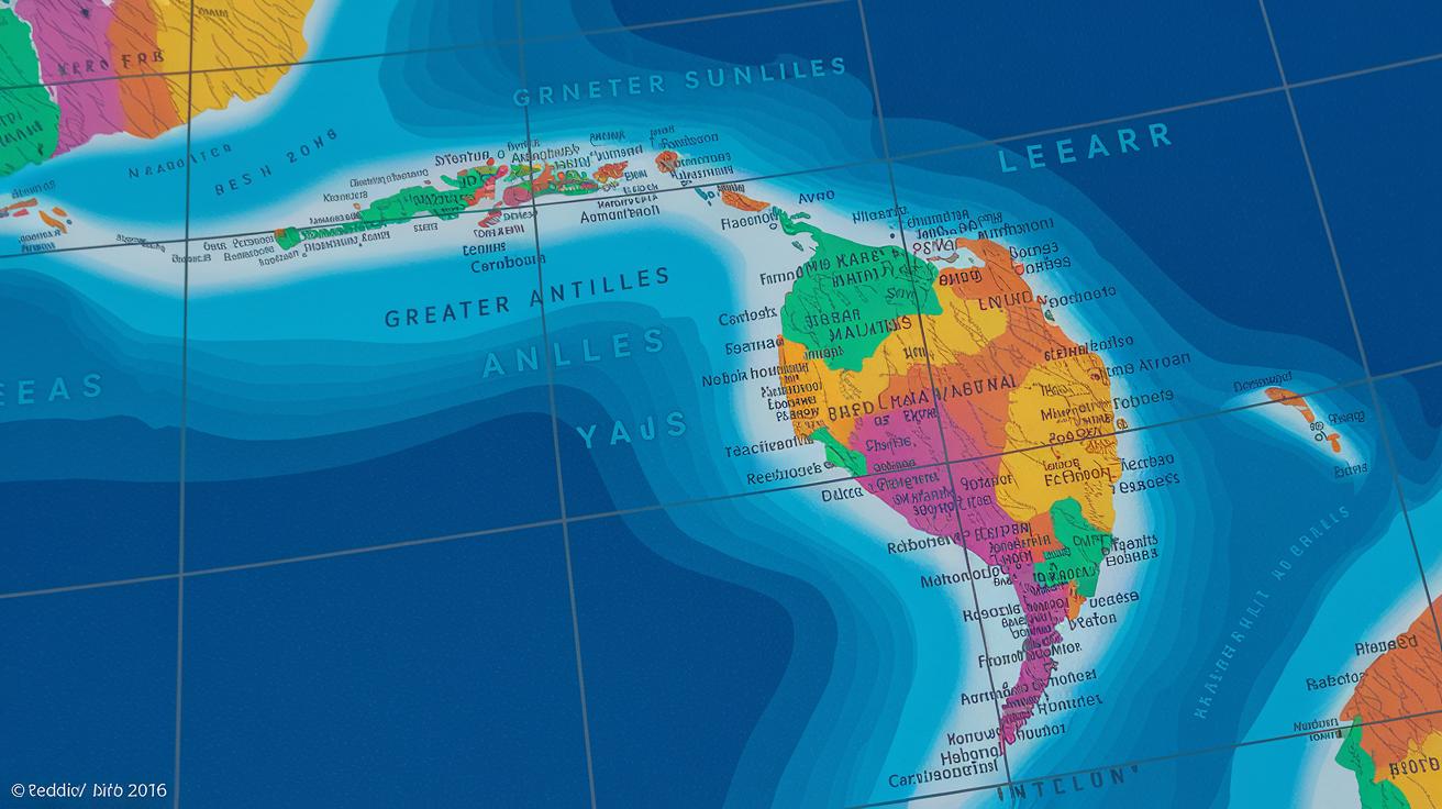
The Caribbean islands lie nestled in the bright blue waters of the Caribbean Sea and Atlantic Ocean. They’re positioned just southeast of Florida, east of Central America, and north of South America. This wonderful cluster, often called the West Indies, bursts with sun-drenched beaches, shimmering waters, and peaceful little isles.
Take a look at a map and you’ll quickly spot two distinct groups of islands. It’s like sorting your favorite fruits into two neat baskets. In one basket, the Greater Antilles, you’ll find familiar spots like Cuba, Hispaniola (home to Haiti and the Dominican Republic), Jamaica, and Puerto Rico. These bigger islands are full of life, vibrant cultures, and bustling ports.
Then there’s the other basket: the Lesser Antilles. Scattered like hidden treasures, they split into two groups. Up north are the Leeward Islands, forming a gentle arc, while the Windward Islands line the south with a graceful charm. Each island offers its own unique vibe, imagine the soothing scent of salty air and the dazzling glow of tropical sunsets.
This friendly overview paints a clear picture of where every island sits and the natural boundaries that set them apart, inviting you to explore the diverse beauty of the Caribbean.
Interactive Digital Map of Caribbean Islands
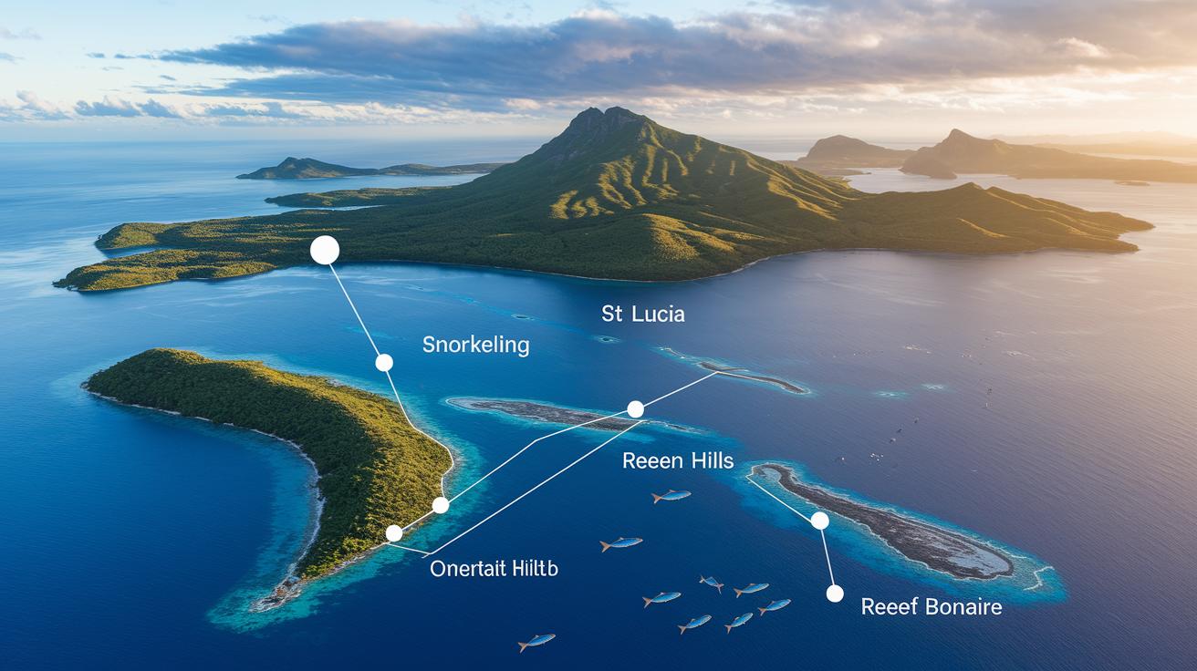
Interactive digital maps make exploring the Caribbean feel like an exciting adventure. Imagine clicking on Antigua & Barbuda to see the best snorkeling spots, or zooming in on St. Lucia to check out hiking trails along lush, green hillsides. This tropical island diagram turns travel planning into pure fun, letting you instantly see options like sailing around the Cayman Islands or diving off the colorful coasts of Jamaica.
Picture toggling a handy overlay that shows popular water sports spots with a friendly note like "Swim with colorful fish near Bonaire's calm bays." Next, you can switch layers to find hiking routes in Dominica's vibrant mountains or bike paths winding through Martinique’s scenic roads.
This easy-to-use map blends eye-catching visuals with practical travel details. When you click on Barbados, icons pop up to show available tours, buzzing local markets, and even secret fishing coves. It feels just like having a friendly local guide nudging you toward both well-known treasures and hidden gems, making every planning session a joyful experience.
This lively map really sparks your travel spirit, inviting you to dream about your next Caribbean getaway.
Printable Map Resources for Caribbean Islands
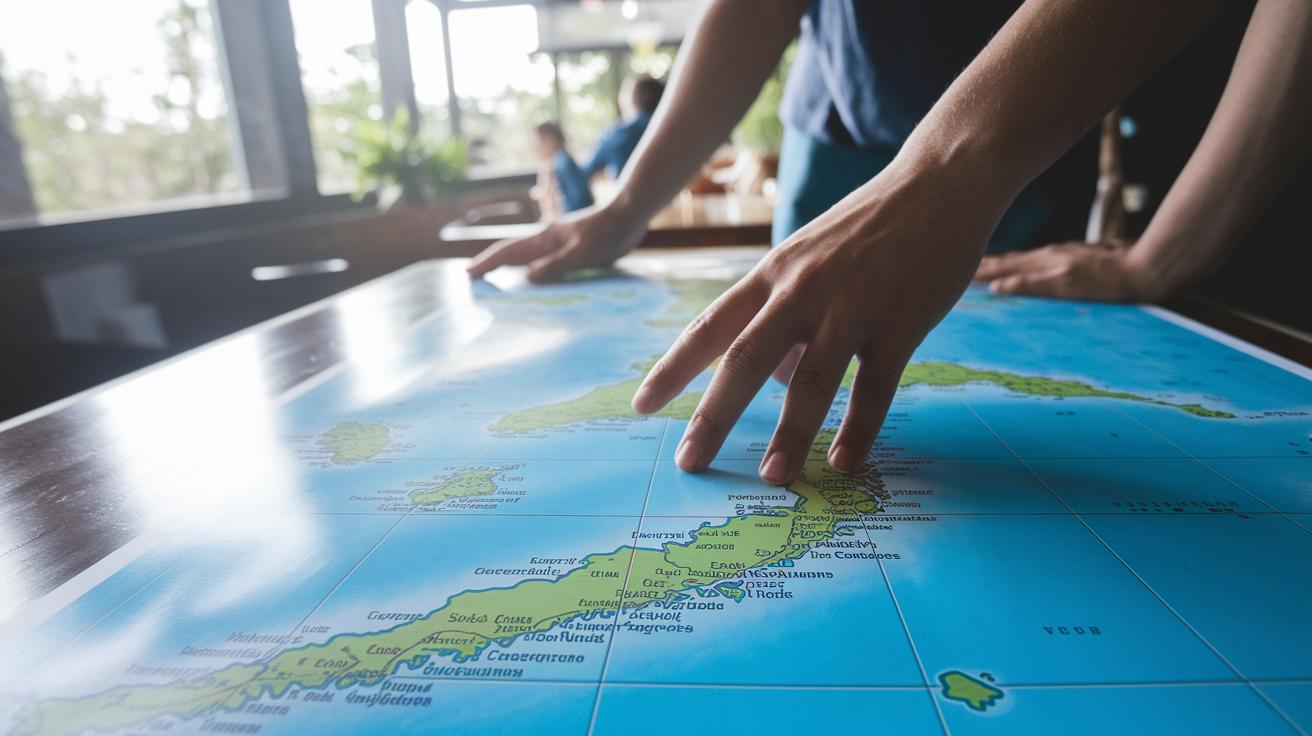
If you're headed for a Caribbean getaway, there's something special about holding a real, printed map. These high-resolution, print-friendly maps come as easy-to-download PDFs and SVG files (SVGs are file types that let you keep clear images) that show every island with updated borders, main cities, and important landmarks. They make a perfect travel companion when you want a tangible guide for your adventures.
Imagine spreading out a beautifully detailed atoll map on a table, feeling like you're really uncovering the island's secrets. It's like turning a simple outing into an immersive, treasure-hunt experience.
The best part is, these maps are made to be simple and clear. Even without an internet connection, you'll find all the essential details you need. With their crisp lines and easy-to-read labels, you can plan your route, mark all your favorite spots, and always have a helpful guide with you on your tropical journey.
Island Group Layout on Map of Caribbean Islands
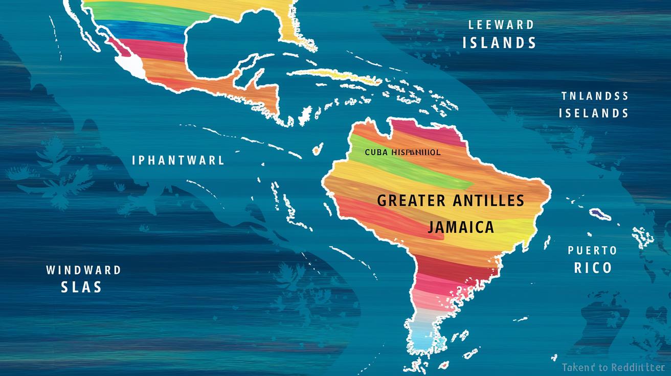
Imagine the Caribbean map like a cheerful painting where groups of islands twirl together in a tropical tune. The Greater Antilles, featuring Cuba, Hispaniola, Jamaica, and Puerto Rico, stand out like bold strokes on a canvas. It’s much like mixing a refreshing cocktail where every ingredient adds its own tangy twist.
Then, the Lesser Antilles show off in two delightful clusters. Up north, the Leeward Islands, including spots like Antigua & Barbuda and St. Kitts & Nevis, form a soft arc that feels like small suns rising over calm waters. Down south, the Windward Islands, home to Dominica, Saint Lucia, and Grenada, line up in a gentle curve, lending a warm and inviting vibe.
Altogether, this view of the Caribbean blends creative imagery with the classic layout of island groups. Take a moment to see how the islands balance their bold flair with a delicate rhythm, much like a well-arranged chain of hidden treasures. Check out this amazing chain of Caribbean islands: chain of Caribbean islands.
Map Features: Capitals, Boundaries, Landmarks for Caribbean Islands
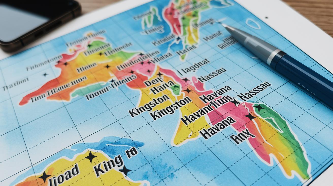
Imagine a map that feels like your personal treasure guide along the coast. This friendly coastal diagram highlights clear outlines of every island, drawing neat lines that mark national borders with simple precision. It’s like admiring a colorful painting where each country’s limits are outlined as if by a gentle artist’s brush.
Capitals star in this map. Picture small, clickable icons right by cities like Kingston, Havana, or Nassau. They give you quick tidbits of must-know info, much like a local sharing secrets of the town. Ever wonder why city centers always buzz with energy? That’s because capitals are where life and culture meet, and our map makes sure you don’t miss a beat.
Airports get their moment too. Each major airport is noted on curvy routes that seem to lead you on a mini adventure toward your next destination. And then there are UNESCO sites and landmarks, little markers that shine a light on the islands’ rich history and culture, inviting you to explore their stories.
| Feature | Description |
|---|---|
| Capital City | Easy-to-spot icons to help identify the heart of each island |
| National Boundaries | Neat, clear lines marking the edges of every country |
| Major Airports | Icons that guide you to key travel hubs for easy planning |
| UNESCO Sites | Highlights that celebrate the islands’ cultural and historical landmarks |
Every detail on this map is designed to make your planning simple and fun, helping you feel that warm Caribbean spirit with each glance. Enjoy your journey through these sun-kissed islands!
Final Words
In the action, we've traced the vibrant layout of the Caribbean islands, exploring everything from detailed interactive maps to handy printable resources and clear island group layouts. We explored key details like capitals and unique landmarks for a well-rounded view of the region. By breaking down the Greater and Lesser Antilles, the blog post offers a friendly look at these tropical escapes. Enjoy planning your trip with this easy guide and let the map of caribbean islands guide you to unforgettable moments.
FAQ
Q: Caribbean Islands map with names
A: The Caribbean Islands map with names displays each island’s official title along with borders, capitals, and key landmarks. This helps travelers recognize different parts of the region at a glance.
Q: Top 10 Caribbean islands
A: The top 10 Caribbean islands highlight popular selections known for charming beaches, lively culture, and great sightseeing spots. These selections often include favorites like Jamaica, Cuba, and Saint Lucia.
Q: Google map of Caribbean Islands
A: The Google map of Caribbean Islands offers a detailed look at island locations, road networks, and cities. It provides interactive features that are useful for planning sightseeing and travel routes.
Q: Tourist map of Caribbean Islands
A: The tourist map of Caribbean Islands focuses on major attractions, beaches, and cultural sites that visitors enjoy. It is designed to guide tourists efficiently through highlights and popular destinations.
Q: What are the 13 Caribbean countries
A: The question about the 13 Caribbean countries refers to a list including recognized nations and territories, such as Cuba, Jamaica, and Saint Lucia. Each nation contributes its unique culture to the region.
Q: Caribbean islands list
A: The Caribbean islands list compiles the names of all islands grouped by regions like the Greater Antilles and Lesser Antilles. This list serves as a handy reference for understanding the area’s makeup.
Q: Free map of Caribbean Islands
A: The free map of Caribbean Islands is available online at no cost. It provides clear labels on island borders and notable sites, making it a practical resource for both planning trips and studying the area.
Q: Printable map of the Caribbean Islands with names
A: The printable map of the Caribbean Islands with names is designed for offline use. It features easily readable labels, updated borders, and essential tourist information suitable for travel planning.
Q: What is the safest Caribbean island to visit right now?
A: The safest Caribbean island to visit right now is determined by current local safety protocols and travel advisories, so checking reliable news and travel resources is recommended before planning your trip.
Q: Where is the Caribbean to avoid?
A: The Caribbean regions to avoid are those that currently face safety concerns or severe weather conditions. It is best to consult the latest travel advisories and local updates for accurate information.
Q: What is the prettiest Caribbean island?
A: The prettiest Caribbean island is often noted for its breathtaking scenery, clear blue waters, and charming local culture, though opinions vary. Each island offers its own unique natural beauty for visitors to enjoy.
Q: What are the 13 countries in the Caribbean?
A: The 13 countries in the Caribbean include a mix of island nations from both the Greater and Lesser Antilles. Each country brings its diverse blend of cultural heritage and natural splendor to the region.