Have you ever thought about the secrets hidden under our tropical shores? Beneath the warm sun and soft sands, giant plates are quietly shifting and grinding, creating a kind of heartbeat that most of us never notice. In this post, we're sharing how these steady forces can trigger small quakes and even change island life over time. Remember the little shake near Cuba and Jamaica back in 2020? That’s just one example of how slow-moving pressures can make a big difference. So, join us as we explore the Caribbean fault lines and discover the hidden energy that keeps this region so lively.
Caribbean Fault Lines: Seismic Overview and Risk Assessment

Before becoming a world-renowned scientist, Marie Curie carried test tubes of radioactive material in her pockets, unaware of the dangers that would later shape her legacy. Imagine visiting the Caribbean and knowing that beneath its sun-kissed beaches lies a world of moving earth. The island chain rests on a mix of tectonic plates, which means the ground here is quietly busy. One striking example was the January 28, 2020 earthquake. It rattled the waters near Cuba and Jamaica with a strong 7.7 magnitude shake, showing us how lively the meeting point is between the Caribbean Plate and the North American Plate. USGS data tells us that the North American Plate slides west-southwest over the Caribbean Plate at a pace of about 19 millimeters a year. Picture it as the slow pressure building up in a simmering pot.
Next, it’s interesting to note that more than 75% of the Eastern Caribbean's global seismic energy comes from active convergent margins, where two plates push together. In sunny spots near Puerto Rico and the Virgin Islands, these collisions sometimes create shakes that can be felt well offshore. In fact, with five events of magnitude 6 or larger recorded within a 250-mile range, those areas have seen memorable quakes, including shocks of 6.8 in December 2004 and 6.2 in May 1992. Even though the Dominican Republic experiences several of these tremors, most happen out at sea, keeping the population centers a bit safer.
This lively natural activity is a reminder to locals and visitors alike to stay informed about the forces at work below the surface, especially when it comes to building safe structures and planning emergency responses. It’s all part of understanding and living with the dynamic heartbeat of the Caribbean.
Major Tectonic Fault Systems of the Caribbean
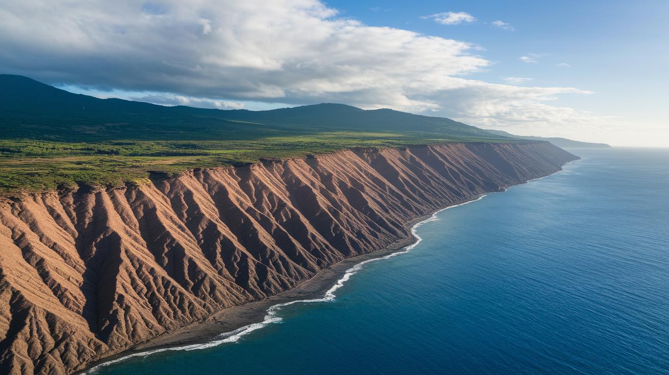
The Caribbean is full of fault lines that make the whole region feel alive and ever-changing. One of these is the Oriente Fault, a steep, nearly vertical boundary where the North American plate meets the Caribbean plate. Imagine a sudden twist along a rope; that’s what happened during the January 28, 2020 tremor near Cuba and Jamaica.
Over in the northern part, the Puerto Rico Trench and the Septentrional Fault zone mark where the earth tenses up. These places build up stress slowly, leading to gentle shakes that remind locals of the constant push and pull beneath their feet.
Then there’s the Enriquillo-Plantain Garden Fault crossing Hispaniola. This fault plays a huge role in how the region experiences quakes. Each fault line adds its own part to the dynamic story of the Caribbean, keeping the islands lively and offering scientists important clues to help predict future shakes.
Historical Earthquake Events on Caribbean Fault Lines

Here’s a quick look at some of the major quakes along the Caribbean fault lines. When you check the numbers, you’ll see about 12 years between the 1992 and 2004 events, and nearly 16 years from 2004 to 2020. It’s pretty interesting and makes you wonder about the timing and patterns of these events.
Between 1992 and 2020, the gaps point to a mix of factors at work, calling for a closer look at the regional trends. Ever think about how these intervals might hint at what’s coming next?
| Date | Magnitude | Location | Fault |
|---|---|---|---|
| Jan 28, 2020 | 7.7 | Off Cuba/Jamaica | Oriente Fault |
| Dec 2004 | 6.8 | 250 mi radius Jamaica | Various island-arc faults |
| May 1992 | 6.2 | Northern Hispaniola | Septentrional Fault |
This timeline and table give fresh insights for those looking into seismic risks and planning for the future.
Dynamics of Caribbean Plate Movement at Fault Boundaries
Underneath the Lesser Antilles, the deep dance of Earth's plates creates trembling shakes and helps form chains of volcanic islands. Imagine layers of cake slowly sliding underneath one another; as water is squeezed from the sinking plate, it lowers the mantle's melting point, letting warm magma rise up and build islands, almost like a hidden story unfolding deep below.
| Process | Result |
|---|---|
| Plate Sinking | Deep tremors and the birth of volcanic island chains |
| Magma Generation | Powers the active volcanoes along the Lesser Antilles |
These unique processes add a fresh twist to how we see the region. They show how Earth’s hidden movements help shape the volcanic islands and the tremors we sometimes feel, much like the secret behind a beautiful Caribbean sunset.
Mapping and Modeling Caribbean Fault Lines: Geophysical Insights
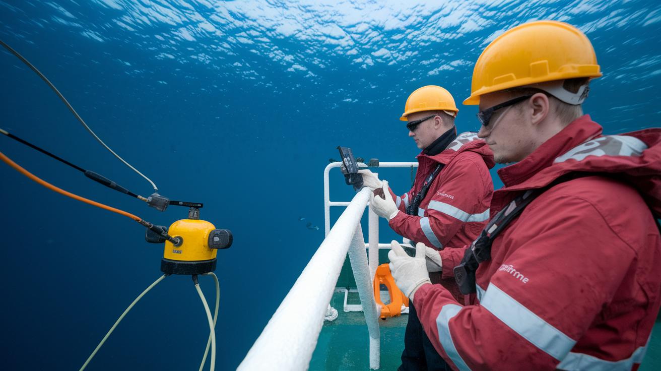
Back in 2001, researchers at the Institute of Geology at the University of Mining and Technology Freiberg shook things up by looking into how the Caribbean Plate came together. They used a bunch of cool geophysical tools, a bit like piecing together a tropical puzzle, to pull together maps from techniques like multibeam bathymetry (a method to map the seafloor), marine seismic reflection (using sound waves to see what's under the ocean), GPS networks, and InSAR data. Imagine mixing all these clues to uncover a hidden world beneath the waves.
These detailed seismic mapping methods let scientists see how fault lines line up and shift with time. For instance, advanced InSAR imaging can catch the slightest ground changes, much like watching gentle ripples spread from a dropped pebble. It’s a vivid way of showing just how alive and dynamic our planet can be.
New geodynamic models add an extra layer of insight by blending in measurements of gravity, magnetism, and earthquake clues. Think of it as adding more colors and textures to a digital map, helping researchers predict where the earth might stir up a bit more energy. This mix of data makes the models sharper at pinpointing where tension builds up.
All this research not only deepens our scientific understanding but also helps Caribbean communities be more aware of potential seismic risks. With such precise mapping, planning and safety measures become a whole lot clearer when the earth starts to move.
Final Words
In the action, this article traced seismic activity, fault systems mapping, historical quake events, and plate movement insights. It summarized data on key earthquake events, explained how fault mapping and geophysical modeling bring clarity to Caribbean tectonics, and emphasized how caribbean fault lines influence regional safety. The piece connected earthquake history with clear risk assessments and highlighted how tectonic shifts shape our understanding of the region. These insights leave us with a thoughtful view of nature's power and a bright outlook for safe travels.