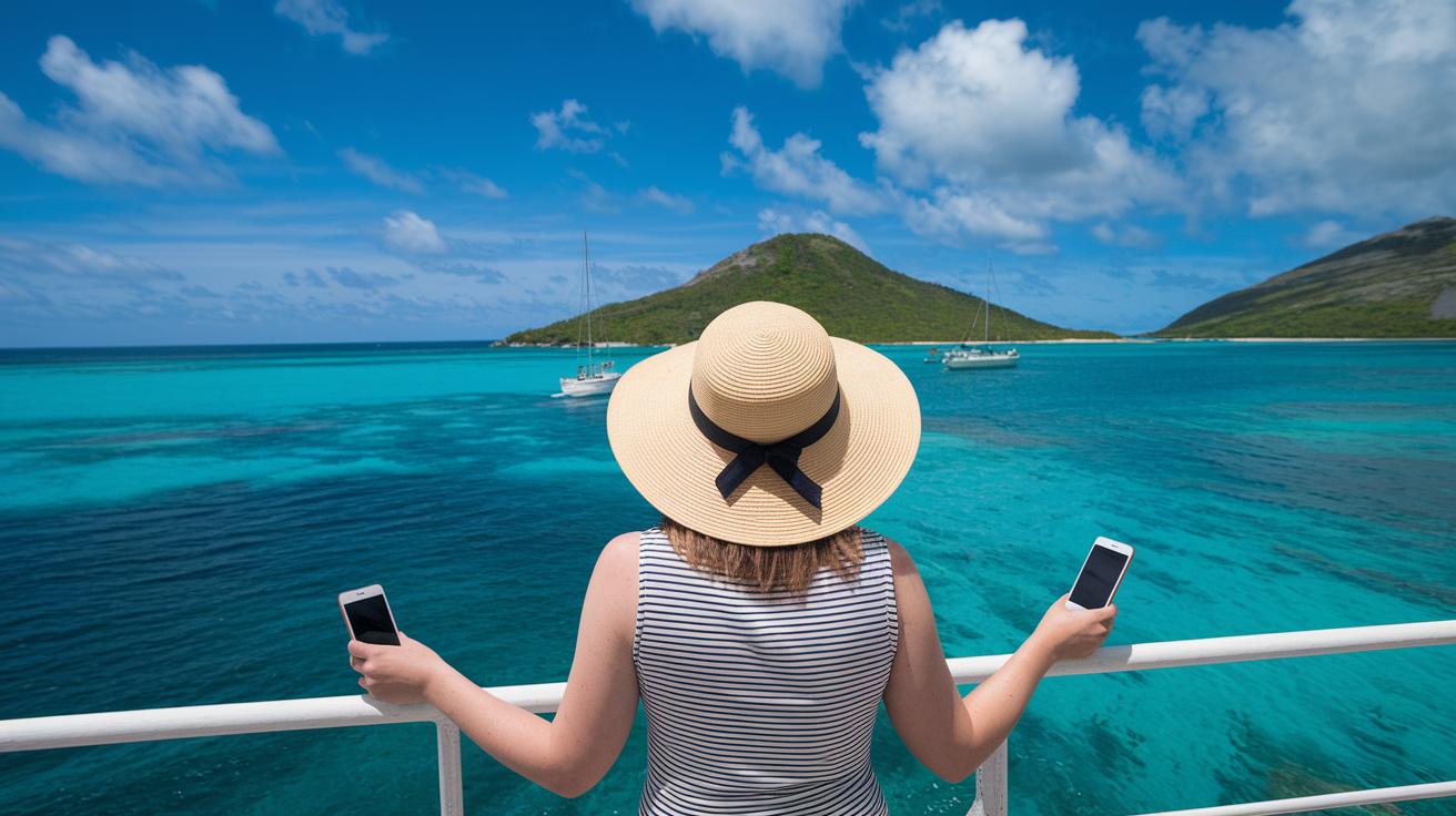
Ever thought a simple map could lead you to more than 700 secret escapes bathed in warm Caribbean sunshine? This guide puts every little detail right where you can grab it.
We lay out how islands stretch from Florida all the way to Central America and South America, making your getaway planning feel as relaxed as a stroll along the beach. Each island carries its own sunny vibe and unique culture, so you know you’re in for a treat. This map is like that friendly local who shows you the perfect spot for a laid-back seaside retreat.
Overview of the Caribbean islands map guide
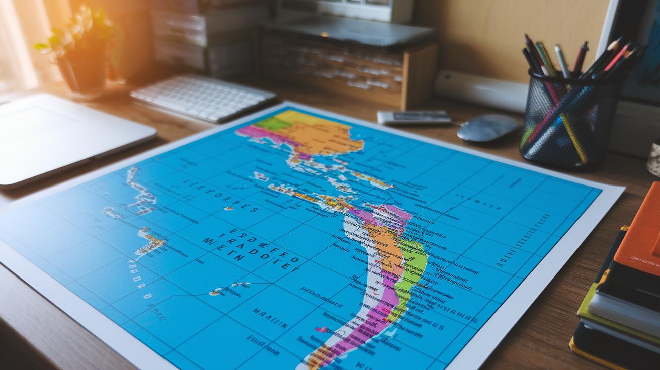
Imagine a friendly map that shows you over 700 islands spread across the Caribbean Sea and even touching parts of the Atlantic Ocean. Picture islands stretching out southeast of Florida, east of Central America, and north of South America. We call these islands the West Indies, each one offering its own sunny charm and rich culture for anyone dreaming of an island escape.
With this map in hand, you get the whole picture of the Caribbean. Did you know there are more than 700 islands? Each one has a unique vibe and a secret spot waiting to be discovered. The map neatly marks where every island sits next to the big continents, so planning your travel route feels as easy as a seaside stroll.
The guide focuses on clear boundaries drawn by major landmasses and gives you handy details on each group of islands. It’s simple to see how they line up between Florida, Central America, and South America. Whether you're planning a day of relaxing on a quiet beach or seeking an exciting island adventure, this guide has all the details you need.
Every part of the map helps you feel the vibrant spirit of the Caribbean, making it a breeze to picture and plan your next sunny getaway.
Regional Breakdown on the Caribbean islands map guide
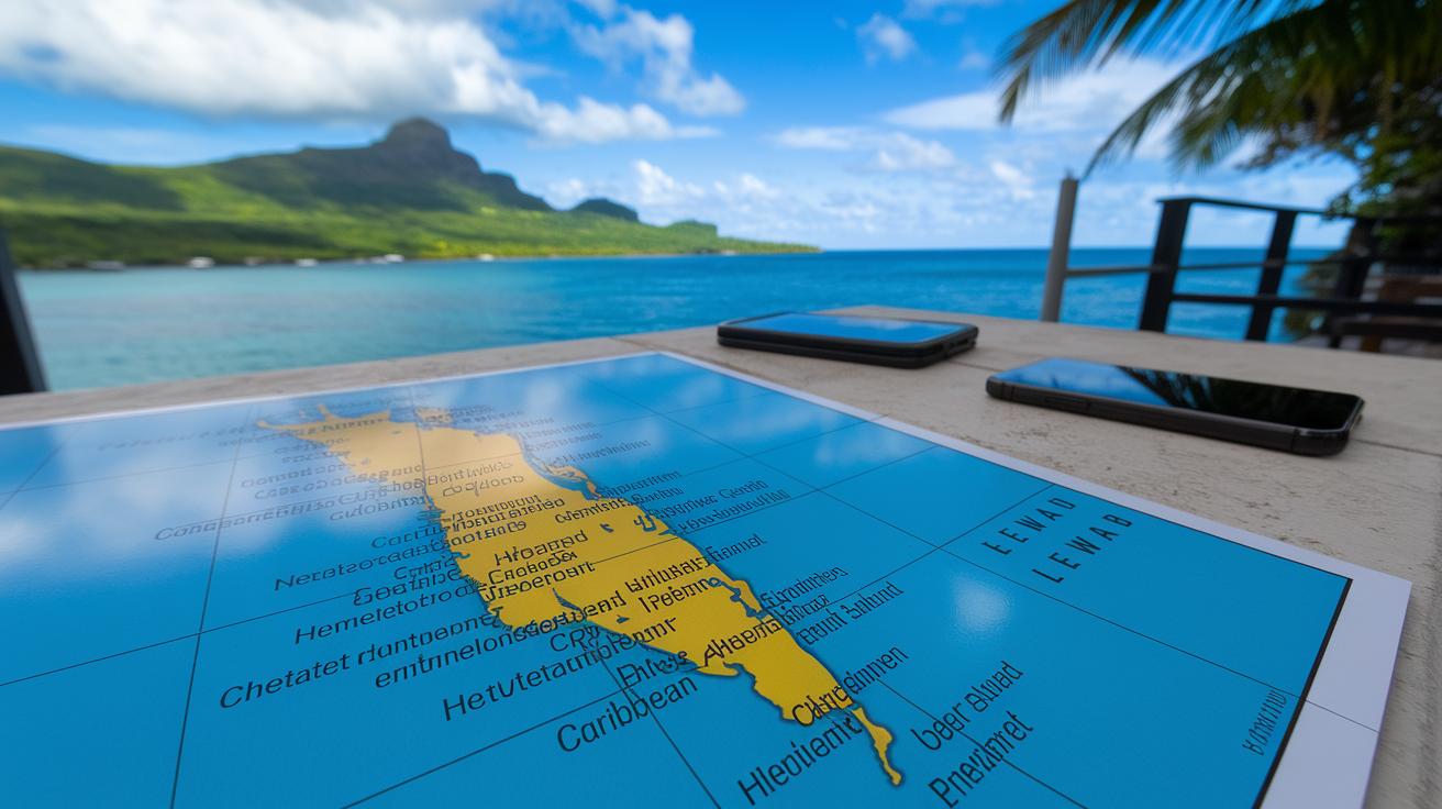
This handy map guide splits the Caribbean into smaller regions, making it simple to pick out the perfect island getaway on a bright, sun-soaked day. It lays out a tropical archipelago chart that brings each area's special charm and look to life, whether you're dreaming of cool beaches, little-known historic towns, or pockets of lush greenery.
First up is the Greater Antilles. This group includes Cuba, Jamaica, Hispaniola, and Puerto Rico. These islands are at the heart of the Caribbean and burst with vibrant cultures, colorful streets, and diverse landscapes.
Next, we have the Leeward Islands. Located at the northern tip of the Lesser Antilles, these islands are known for their quaint towns and sun-drenched sandy shores where you can almost feel the gentle sea breeze.
Then, there are the Windward Islands. They lie in the southern part of the Lesser Antilles and invite you to explore deep blue waters, rich green foliage, and the relaxing rhythm of island life.
Finally, the Bahamas and Turks and Caicos sit at the northern edge of the region. Their sparkling, crystal-clear waters and beautiful shorelines make them a dream come true for any beach lover.
Each point here gives you a taste of what to expect, helping you choose the spot that best fits your sun-drenched escape dreams.
Caribbean islands map guide: Sunny Escapes
Welcome to your guide to the Caribbean islands, a true sun-kissed getaway where sparkling beaches and lively local gems await you. In the Western Caribbean, Grand Cayman stands out with its dreamy Seven Mile Beach and the fun of Stingray City. Ambergris Caye is a diver’s paradise, inviting you to check out the famous Great Blue Hole. And if endless white-sand beaches get you excited, Isla Mujeres surely won’t disappoint. Jamaica adds its own flavor with the friendly energies of Montego Bay and the laid-back vibe of Negril.
Then, as you wander towards the Eastern Caribbean, every corner has its own story. The Bahamas, especially Nassau with its celebrated Pink Sands Beach, feels like a living postcard. Puerto Rico mixes history with nature, think of the colorful streets in Old San Juan and the lush trails in El Yunque (a tropical forest perfect for a light adventure). Sint Maarten offers its unique charm with the quaint setting of Marigot paired with the thrilling buzz of Maho Beach.
Over in the Southern Caribbean, Aruba welcomes you with the serene beauty of Eagle Beach and the wild spirit of Arikok National Park. Curaçao boasts a vibrant capital in Willemstad and natural wonders like the Hato Caves. Barbados intrigues with the mysteries of Harrison's Cave, while Trinidad and Tobago captivate with the lively scenes at the Caroni Bird Sanctuary.
| Island | Region | Main Attraction |
|---|---|---|
| Grand Cayman | Western Caribbean | Seven Mile Beach, Stingray City |
| Ambergris Caye | Western Caribbean | Great Blue Hole |
| Bahamas | Eastern Caribbean | Nassau, Pink Sands Beach |
| Puerto Rico | Eastern Caribbean | Old San Juan, El Yunque |
| Aruba | Southern Caribbean | Eagle Beach, Arikok National Park |
| Curaçao | Southern Caribbean | Willemstad, Hato Caves |
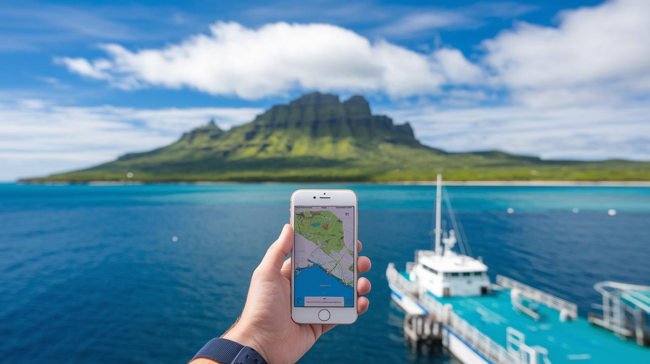
Interactive Tools in the Caribbean islands map guide
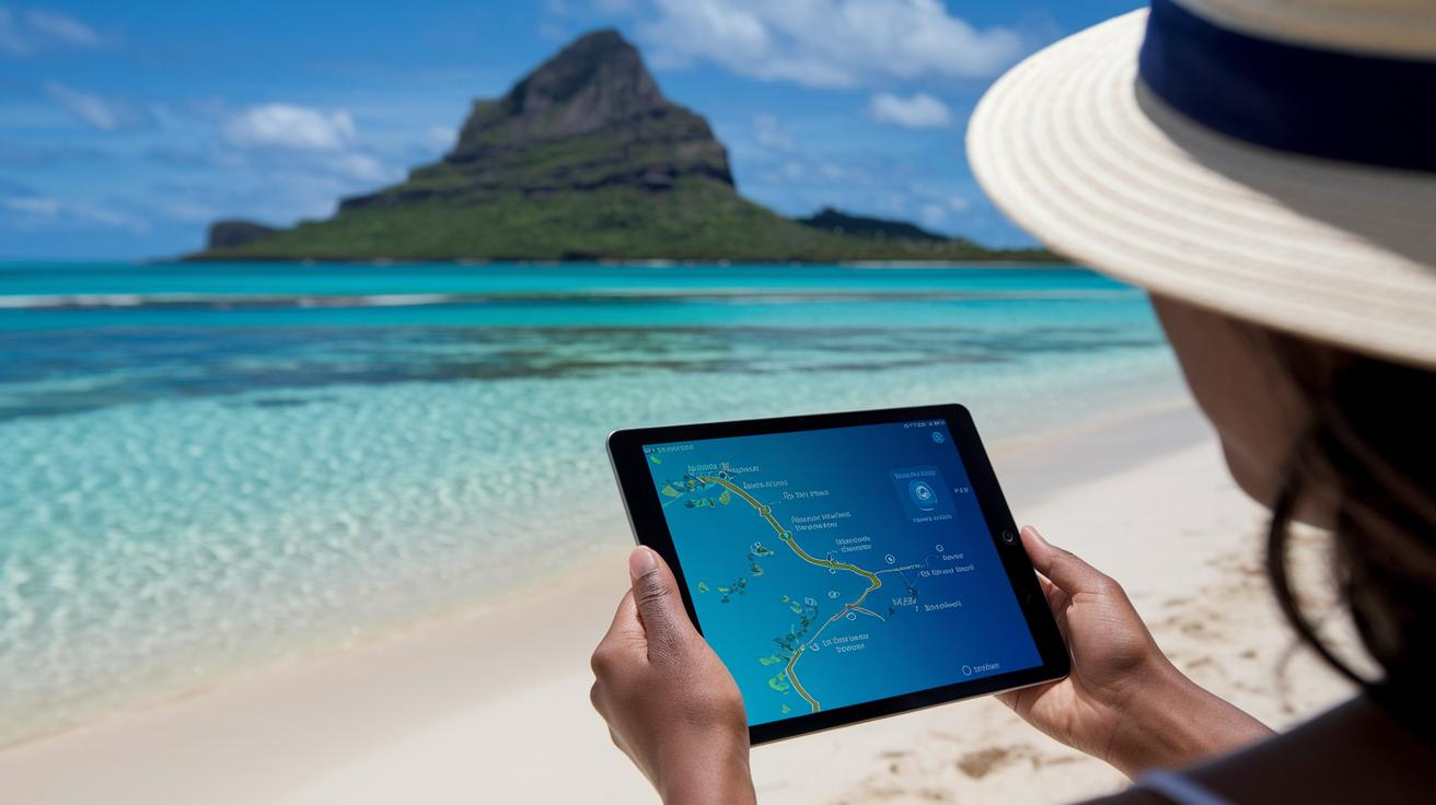
Step into a whole new way of exploring the Caribbean with these interactive map tools. They let you zoom in to see everything from gentle hills and resort spots to secret dive sites and trails like those leading to Mount Obama or Blue Mountain. Imagine gliding over an island and seeing details pop up like adding a burst of flavor to your favorite tropical smoothie.
Travelers can check out overlays that show you ferry paths and the location of airports, making it as easy as picking a refreshing cocktail on a sunny day. Need to plan a dive at a bright, popular reef or find a hiking trail to a lush peak? The map's layering options let you filter everything, from resorts to transit lines and natural wonders, so finding the perfect spot is a breeze.
Picture this: you zoom in on an island and spot a gentle trail running near a pristine beach or even a hint of an old underwater ruin. This fine detail helps you decide where you want to spend your day. In truth, these interactive features blend handy information with the inviting charm of a sunlit Caribbean escape.
Planning Island-Hopping with the Caribbean islands map guide
Think of planning your island-hopping adventures like stirring up a tropical cocktail, each stop adds a burst of flavor to your trip. With the Caribbean islands map guide, it’s as simple as lining up your favorite ingredients and checking ferry times. The map shows you key ports and ferry paths, even letting you peek at harbor details and distances. For example, one route might take you from San Juan in Puerto Rico to St Thomas in the US Virgin Islands for about 45 nautical miles, and then on to St Kitts & Nevis with a 40 nautical mile stretch. It turns ferry schedules into clear, visual route maps that feel as welcoming as a beach kiosk on a sunny day.
Imagine looking at your digital map as if you’re inspecting a treasure chart, it points out safe harbors, must-visit stops, and even little environmental clues. It’s like the map is sharing insider secrets about cozy coves and local spots to grab a bite. Every bit of info, from ferry departure times to transport links, becomes a stepping stone for more time soaking in that Caribbean sunshine. And with the map guide, you can easily tweak your plans, whether you’re chasing a cool sea breeze or relaxing in a quiet cove.
Sample 5-Day Island-Hopping Route
- Day 1: Arrive in San Juan (PR), explore colorful streets, and unwind at the dock by evening.
- Day 2: Catch a ferry to St Thomas (USVI) – it’s about 45 nautical miles away; check the local schedule.
- Day 3: Dive into the clear waters of St Thomas, and wander through local markets.
- Day 4: Hop on a ferry to St Kitts & Nevis – just 40 nautical miles; enjoy breathtaking coastal views along the way.
- Day 5: Spend your day exploring St Kitts & Nevis, or take a return trip based on your map plan.
Coastal Resort Mapping in the Caribbean islands map guide
Imagine exploring a map that feels like a fun treasure hunt through the Caribbean. Each marker shows clusters of hotels, golf spots, and dive sites along the coast, almost like secret notes left for you. The map uses clear layers so you can easily see where resorts line up along the sunny shoreline, complete with hotel directories, cozy dining spots, and friendly beach bars.
For instance, picture Montego Bay’s Hip Strip lighting up with lively hotels and tasty eateries just waiting for you to relax. Then, take a glance at Nassau’s Cable Beach, where the sparkling sand meets all the comforts of a resort for a picture-perfect getaway. Over on Barbados’s Platinum Coast, the map highlights stunning water views and charming little inns. Meanwhile, dive sites near Ambergris Caye and Bonaire and coastal golf courses in Curaçao and St Lucia are clearly marked, making it a breeze to find your next sun-soaked retreat.
Navigation Tips for the Caribbean islands map guide
When you're checking out ferry docks along the coast, offline maps on your phone can really save the day. Downloading GPS-enabled map tiles before you head out is like packing a little digital compass for your sunny island stroll. Imagine having a map that always leads you to the next ferry stop, even if your network is off – it's both handy and calming.
Keep in mind that local magnetic shifts matter too. For example, in the Windward Islands you might see a one degree shift to the west. It might seem small, but this little change can help your compass apps work just right.
Also, it’s a smart idea to check tide tables if you plan to explore low-tide trails. They help you avoid getting stuck on a narrow path while the tide comes in. And if you like to keep your favorite routes handy, save your KML/KMZ files so you can easily import them into Google Earth and use them with your marine GPS app.
- Use offline GPS-enabled maps for ferry docks.
- Account for a one degree magnetic variation in the Windward Islands.
- Check tide tables for safe low-tide trails.
- Save KML/KMZ files for Google Earth imports.
Final Words
In the action of preparing for your Caribbean trip, this article outlined how the Caribbean islands map guide puts the region into clear perspective. It offered a breakdown of subregions, highlighted key coastal resorts, and shared tips for planning island hops with ease.
The guide also introduced interactive tools and practical advice on using offline maps and tide tables, making trip planning a breeze. With these insights in hand, your upcoming Caribbean escape feels closer and more exciting than ever.
FAQ
What does the Caribbean islands map guide with capitals and names show?
The Caribbean islands map guide displays each island’s name along with its capital, making it easy to spot where you are going and understand where important cities are located.
What do the 13 Caribbean countries include?
The 13 Caribbean countries typically recognized are Antigua & Barbuda, Bahamas, Barbados, Cuba, Dominica, the Dominican Republic, Grenada, Haiti, Jamaica, Saint Kitts & Nevis, Saint Lucia, Saint Vincent & the Grenadines, and Trinidad & Tobago.
How does a free map of Caribbean islands on Google help travelers?
A free Google map of the Caribbean islands gives you an interactive view with zoom options and detailed labels, helping you plan routes, explore regions, and find key attractions quickly.
What are some of the top 10 Caribbean islands to visit?
The top 10 Caribbean islands often include favorites like Jamaica, the Bahamas, Puerto Rico, and Aruba. These islands are celebrated for their picture-perfect beaches, lively culture, and historic sites.
How can I get a printable Caribbean islands map with names?
A printable Caribbean islands map is available with clearly labeled island names, which makes it a handy tool to study routes and plan your island-hopping or sightseeing adventures offline.
What is considered the prettiest Caribbean island?
Many find Saint Lucia particularly pretty because of its lush landscapes, beautiful bays, and charming villages, though the “prettiest” island can vary based on personal taste.
Which Caribbean island is known for being the nicest and safest?
Aruba is frequently cited as one of the nicest and safest Caribbean islands, known for its welcoming atmosphere, modern facilities, and a secure environment for travelers.
What Caribbean island offers the most reasonable visit?
The Dominican Republic stands out as a reasonable option, offering affordable accommodations, rich cultural experiences, and a variety of resorts without breaking your travel budget.
How are Caribbean, Central America, The Bahamas, Saint Lucia, Jamaica, and Aruba connected?
These regions and islands share warm climates, similar cultural influences, and a common draw as coastal destinations, allowing visitors to experience distinct local flavors while exploring multiple island settings.