Ever wonder how one simple map can bring together over 700 sparkling islands? This guide offers a clear look at the Caribbean by highlighting favorites like Cuba, Jamaica, and Puerto Rico along with neat details on spots like the Cayman Islands and US Virgin Territories.
It feels a bit like flipping through your favorite travel journal, where you can almost feel the history and charm that early explorers marveled at. The clean, bold design makes planning your island adventure feel as refreshing as a gentle sea breeze on a sunny day.
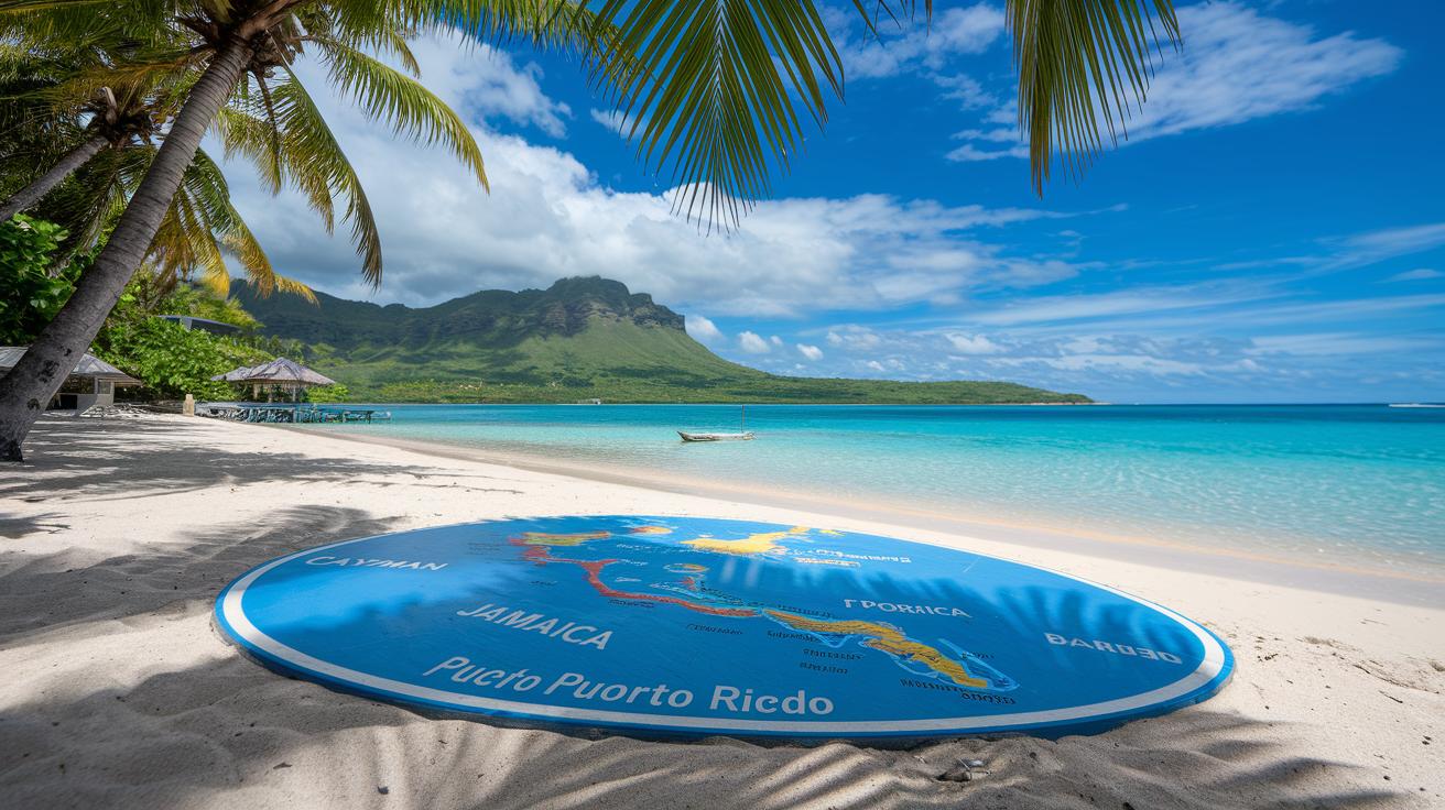
Map of Caribbean Islands: Vibrant Visual Layout
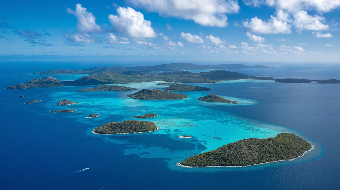
Imagine a place where more than 700 islands sparkle in the Caribbean Sea and stretch out into the vast Atlantic. This clear, high-resolution map shows famous islands like Cuba, Hispaniola, Jamaica, and Puerto Rico, with neat borders and a special zoom on the Cayman Islands and US Virgin Territories for extra detail.
Every island name and marker stands out clearly, making it easy to plan your Caribbean adventure, almost like flipping through your favorite travel guide. Did you know that long ago, explorers marveled at the unseen beauty of these islands? They made rough sketches that eventually grew into the detailed maps we use today.
This map not only outlines political borders but also gives you a simple overview of the Caribbean islands in the Greater and Lesser Antilles. It’s like having a friend share the best tips for a smooth island-hopping trip. If you’re curious about every little island, just check out the "List of Caribbean Islands" in the guide.
Greater vs. Lesser Caribbean Islands Layout
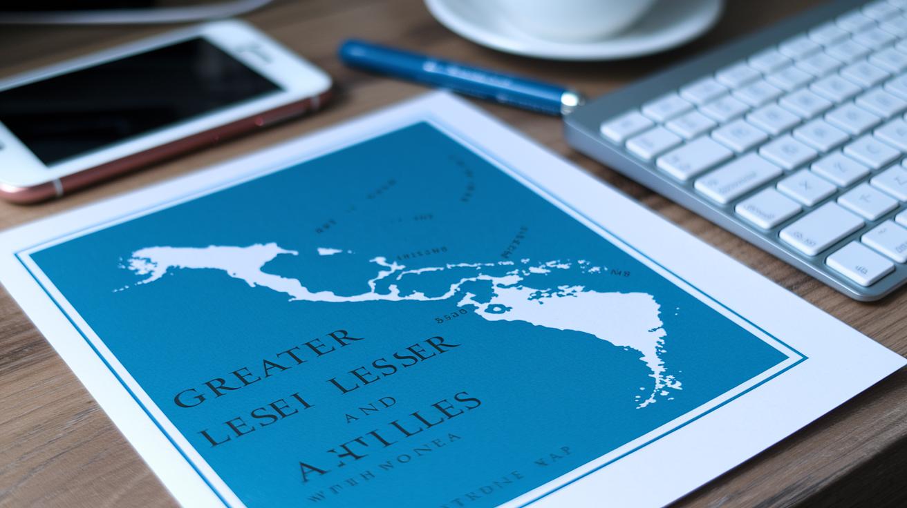
The Caribbean islands split into two main groups, each with its own distinct charm. Picture a colorful map with island outlines that look like brushstrokes revealing hidden cultural wonders. The Greater Antilles include big islands such as Cuba, Jamaica, Hispaniola (divided into Haiti and the Dominican Republic), Puerto Rico, and the Cayman Islands. These islands lie closer to Central America, and their broad shapes whisper tales of exploration and cultural exchange.
Then there are the Lesser Antilles, spreading out like a string of dazzling jewels. The Leeward Islands, with favorites like Antigua and Saint Martin, line up in a graceful arc, while the Windward Islands feature enchanting spots like Grenada and Barbados. Both clusters offer a unique mix of size and intimacy that makes the Caribbean feel like one warm, welcoming family.
A detailed map comes alive with bold colors to mark the differences between these groups. For example, a cool blue might highlight the Greater Antilles, while a warm red shows the Lesser Antilles. This makes it easy to see how the larger islands are near Central America and the smaller ones drift closer to South America.
Think of the layout diagram as a friendly Caribbean guide. Each clear callout explains where every island group sits in relation to its neighbors and nearby continents, inviting you to discover what makes each island so wonderfully unique.
Interactive Caribbean Islands Map Features

Imagine exploring the Caribbean like you’re taking a gentle boat ride across sparkling blue waters. With a simple click or tap, the map reveals charming details about each island, capital cities, local populations, and little fun facts that bring the islands to life. Ever thought about how explorers once used hand-drawn maps? Now, that magic is just a click away.
This map works perfectly on both your desktop and mobile. You can easily switch from a clean, simple view to realistic, high-resolution images that show every bend of the coastline. It even displays live GPS coordinates, so you can keep track of your location whether you’re near bustling Grand Cayman or the laid-back vibes of Isla Mujeres.
Plus, planning becomes a breeze. Click on any marker to check the current weather or see the next bus or ferry schedule. Each bubble of information feels like a friendly local share, making your adventure planning as relaxing as a day on a white-sand beach.
Topographic & Thematic Layers on Caribbean Island Maps
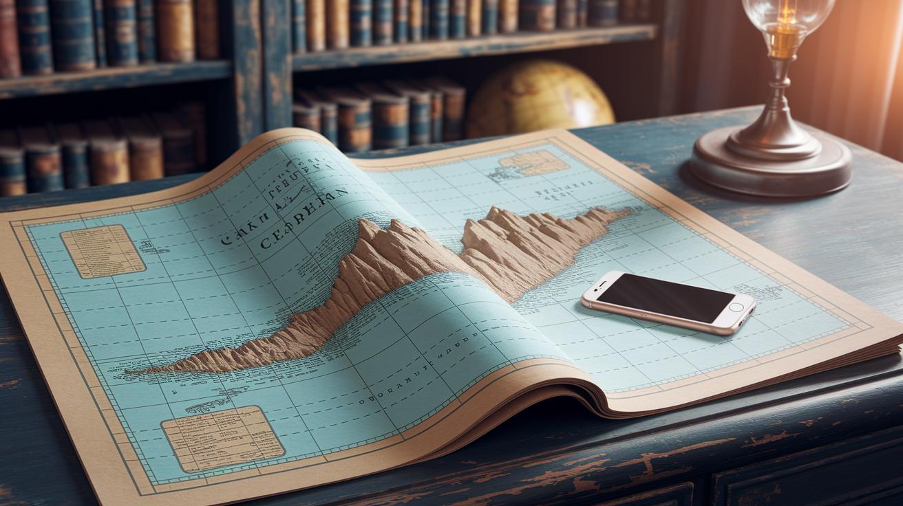
When you check out a detailed map of the Caribbean, you see way more than just island outlines. It’s like each layer tells its own little story. For example, Dominica's rocky peaks are clearly marked, letting you see exactly how the land rises and falls against the sea.
One cool feature is the bathymetric shading. This simply means the map uses different colors to show water depth. Picture gentle slopes in the Bahamas and dramatic deep drops near the Cayman Trench. It’s almost like the map is painting the story of the ocean right before your eyes.
Then there are thematic overlays. Some maps splash on different colors for various climate zones, so you know which parts are super sunny and which might have a refreshing coolness. You can also spot markings for ocean currents, trade winds, and even past hurricane paths. These details make the map both a scientific guide and a fun travel buddy.
Imagine planning your day like putting together a colorful puzzle. One piece might show terraced hills, and another hints at mysterious water depths where sunlight fades. Each overlay, whether it’s the elevation lines or the flow of the currents, gives you a clearer peek into the islands’ natural charm.
All these layers bring a static map to life, making it a handy companion for both learning about the region and planning your next Caribbean adventure.
Printable Caribbean Islands Map Resources
If you're dreaming of having a piece of the Caribbean in your hands, you're in luck. There’s a cool mix of modern and old-school maps you can print out. You'll find bright, full-color PDFs that bring every island to life with vivid shades. These easy-to-read maps come in A3 or A4 sizes, and some even offer scalable SVG files so you can adjust them to your perfect print size. Imagine turning your screen into a lovely artwork where each island pops with clarity.
Then there are those charming antique maritime charts from the 1700s. They feature hand-drawn outlines and intricate details that feel like stepping back in time, like finding an old postcard that still holds magic.
For a more laid-back approach, check out classroom posters with simple, hand-drawn sketches. These are great for teaching or learning geography because they break down tricky borders into clear, friendly visuals.
- Modern full-color charts
- Antique maritime reproductions
- Classroom-style hand-drawn sketches
| Map Type | Features |
|---|---|
| Full-Color Charts | A3/A4 layouts, scalable SVG formats |
| Antique Maritime Maps | 18th-century style, detailed hand-drawn elements |
| Classroom Posters | Simplified outlines ideal for educational use |
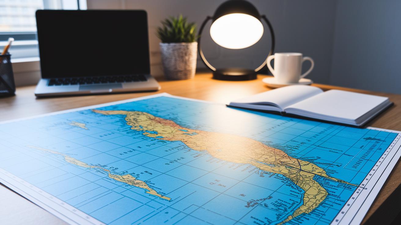
Planning Caribbean Trips with Your Islands Map
A good map is like your secret guide when you’re planning trips around the Western, Eastern, and Southern Caribbean. It shows clear labels for islands such as Cayman, Jamaica, Puerto Rico, and Barbados, so you can easily find where ferries and cruises connect the dots. Imagine setting up a beach picnic, each part coming together for a perfect day under the sun. Think of it like picking the juiciest piece of fruit to enjoy at the center of your tropical salad.
Start by marking groups of islands for each part of your trip. In the Western Caribbean, flag key stops like Cayman and Jamaica. Next, sketch out the Eastern route with stops in Puerto Rico and the US Virgin Islands, and finish with Southern gems such as Barbados and Trinidad. The map even shows distances in nautical miles, which helps you decide if a quick boat ride is enough or if a longer cruise would be more fun.
- Pick your favorite starting spots.
- Mark points where boats connect.
- Check for ferry and cruise times.
- Measure the nautical miles between your stops.
| Route | Nautical Miles |
|---|---|
| Cayman to Jamaica | 80 |
| Jamaica to Puerto Rico | 150 |
| Puerto Rico to Barbados | 200 |
Modern map planners let you see live ferry schedules and cruise info. It’s like watching the map come alive while you check the latest departure times, almost like a friendly local giving you the inside scoop. For more details on planning your journey, check out the "Complete Guide to Caribbean Island Hopping."
This way of planning turns your travel plans into a colorful, easy-to-follow layout. It’s like making your own treasure map that leads you through clear turquoise waters and soft sandy shores, making every island adventure one to remember.
Final Words
In the action, this article brought every aspect of a comprehensive map of Caribbean islands to life. We explored a high-resolution view that breaks down island groups with interactive features, topographic layers, and printable resources. Each section offered practical tips, from planning routes to appreciating cultural nuances. The labeled Caribbean map makes it easy and fun to plan stress-free trips, letting you enjoy each island's unique charm. Embrace these insights and let the magic of the Caribbean guide your next adventure.
FAQ
Q: What details does a tourist map of Caribbean islands with names provide?
A: A tourist map of Caribbean islands with names provides an overview of each island’s location, names, and key landmarks to help visitors plan their trip efficiently.
Q: What are the top 10 Caribbean islands?
A: The top 10 Caribbean islands typically include popular spots known for great beaches, cultural sites, and exciting local life. The selection often features islands like Cuba, Jamaica, and the Dominican Republic among others.
Q: What does a Google map of Caribbean islands display?
A: A Google map of Caribbean islands displays clear island placements, capitals, and important landmarks with interactive zoom and navigation features to help you explore the region.
Q: What information is shown on a map of Caribbean islands and capitals?
A: A map of Caribbean islands and capitals clearly shows island outlines, country borders, and capital cities, making it easy to identify political boundaries alongside geographic markers.
Q: What are the 13 Caribbean countries?
A: The 13 Caribbean countries include well-known nations such as Cuba, Jamaica, Haiti, and the Dominican Republic, alongside other smaller island states. Refer to the detailed list for more specifics on each country.
Q: How can I find a free and printable map of Caribbean islands with names?
A: You can find free, printable maps of Caribbean islands in PDF or SVG formats online. These resources offer clearly labeled islands and capitals, perfect for offline use or educational purposes.
Q: What is the prettiest Caribbean island to visit?
A: The prettiest Caribbean island is subjective, but many visitors praise islands like Saint Lucia for their lush scenery and dramatic coastal views that feel like a perfect getaway.
Q: What is the safest Caribbean island to visit right now?
A: The safest Caribbean island can vary, but islands such as Aruba and Barbados are often recommended due to low crime rates, friendly locals, and a strong emphasis on visitor security.
Q: Where in the Caribbean should travelers exercise extra caution?
A: Some areas in the Caribbean may have recent travel advisories. Travelers should check current recommendations and local news to decide which regions require extra safety precautions.